By Max Malmquist, Saline Lakes Outreach Associate, National Audubon Society, and Blake Barbaree, Senior Waterbird Ecologist, Point Blue Conservation Science
(This article has been adapted from a guest blog post with the Intermountain West Joint Venture and is shared with permission.)
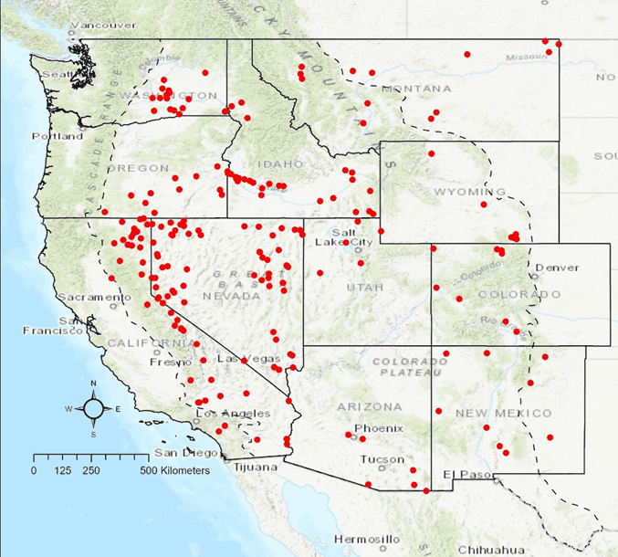
Last August, hundreds of volunteers, non-profit biologists, and state and federal agency staff grabbed their binoculars, spotting scopes, and bird identification guides to do something that hadn’t been done in almost three decades: count migrating shorebirds across the Intermountain West portion of the United States. This massive mobilization of surveyors set out to visit as many wetland sites as possible from August 9th to August 22nd to help fill in important data gaps relating to shorebirds and their vulnerable habitats.

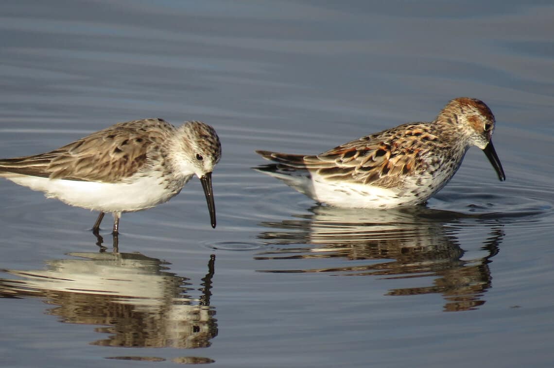
The snowmelt-fed wetland and saline lake habitats of the interior portions of western North America play a critical role in supporting over 30 species of migratory shorebirds that use the Pacific Flyway, such as Dunlin, Long-billed Dowitchers, and Western Sandpipers. As they migrate south from their breeding grounds in Siberia, the Arctic, and parts of North America, shorebirds stop, rest, and refuel before heading to their wintering grounds on the Pacific Coast and interior portions of Central and South America. The wetlands of the western United States act as oases for these birds, and for millennia, shorebirds have funneled to these irreplaceable habitats twice a year during spring and fall migration.
Over the past few decades, the American West has endured significant climate change effects. It has been the epicenter of a multi-decadal mega drought, raging wildfires, and record-setting temperatures. As these impacts hit us harder each year, a big question remains unanswered: How are these changing environmental conditions affecting shorebirds and the wetlands on which they rely?
Stopover Habitat the Focus of Survey
Migratory bird populations are notoriously difficult to monitor; this holds particularly true for shorebirds. Many of these species use the entire hemisphere during their annual life cycle and pinpointing the limiting factors of shorebird populations and distribution is extremely difficult. So, how are shorebird populations doing? What areas along their long migration route are the most critical for their survival? What are the major challenges on their breeding and wintering grounds?
For years, large-scale shorebird monitoring efforts in the Pacific Flyway have focused on wintering populations, and to a lesser extent breeding populations. One portion of their annual cycle is particularly lacking in recent data: their migratory stopover habitat.
Enter the Intermountain West Shorebird Survey

From 1989 to 1995 Point Blue Conservation Science (then known as Point Reyes Bird Observatory) spearheaded an effort to monitor 162 wetland sites in the Intermountain West for shorebirds during peak spring and fall shorebird migration. This monumental effort yielded amazing insights into shorebird populations and the distribution of key habitats and food resources, and the study is still referenced to this day. Therein lies the problem: data from over 30 years ago still informs how we talk about shorebirds and their habitats in 2022. Conditions have dramatically changed since that time, and the need for updated information is more important than ever.
Over the course of 2022, National Audubon Society’s Saline Lakes Program (Audubon) and Point Blue Conservation Science teamed up with the U.S. Fish and Wildlife Service, state wildlife agencies, Audubon chapters, and other non-profit organizations to revisit these historic surveys. After months of coordinating, recruiting, identifying wetland sites, and performing reconnaissance, this effort culminated in surveys of over 110 wetland sites, all within a two-week window in August.

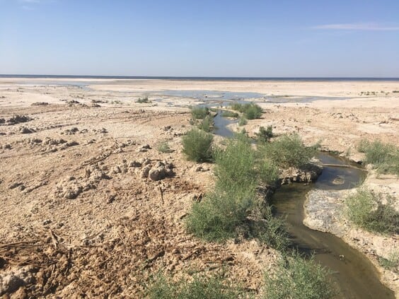
These surveys are not only a snapshot of shorebirds during their fall migration, but also insight into the condition of this critical network of wetland habitats. Seven of the 38 shorebird survey sites that historically held more than 1,000 shorebirds during migration were completely dry in August of 2022. The initial results demonstrated impacts from the reduction and loss of several key wetlands on shorebird populations, and that shorebirds still prefer most key wetlands from 30 years ago when fresh water is present today.
The survey in August 2022 provided the first data point of many because surveys are recurring each spring and fall for at least the next three years. This effort will continue to revisit sites surveyed during the 1989-1995 timeframe, as well as visit some new shorebird habitats, for a total of 208 sites. Survey results will be strategically communicated to the public, land managers, and policy makers to help guide water and wetland management across the West.
Volunteers and biologists with skills in shorebird identification are needed in the Sonoran Joint Venture region with surveys planned for at least 16 sites across southern California and central and southern Arizona, including the Salton Sea, San Jacinto Wildlife Area, Lake Elsinore, the Lower Colorado River National Wildlife Refuge Complex, the Wilcox playa, and more. If you are interested in participating, please reach out to Blake Barbaree for more information and to sign up.

