By Eric Hough, Field Expeditions Chair, Arizona Field Ornithologists
Since 2002, the global community science database, eBird, has revolutionized the way birders and ornithologists gather data on bird abundance and distribution. Rather than being limited by resources and funding for a typical research project, eBird allows researchers access to a massive amount of vetted bird data that can be analyzed. For almost 20 years, eBird users have continued to fill in distribution gaps for birds across the globe, yet there remain large areas that lack data for a myriad of reasons.
To increase coverage to these under-birded regions, some organizations and agencies have begun to incentivize birders to venture outside of the popular birding hotspots. Cornell Lab of Ornithology developed an idea for Avicaching, which added a birding element to the hobby of geocaching, with birders collecting and sharing sightings data from selected locations. In 2018, SJV launched the Desert Avicaching project as a point-based game to encourage birders to visit sites in the Colorado and Mojave Deserts, in order to learn more about resident and migratory species using those habitats, which are increasingly being impacted by climate change and alternative energy development. Subsequently, retired USFWS biologist, SJV Science Coordinator, and current Arizona Field Ornithologists (AZFO) president, Carol Beardmore, brought this idea to the AZFO board to discuss forming a similar project to encourage Arizona birders to visit unexplored areas; thus, the AZFO eBird Gaps project was born!
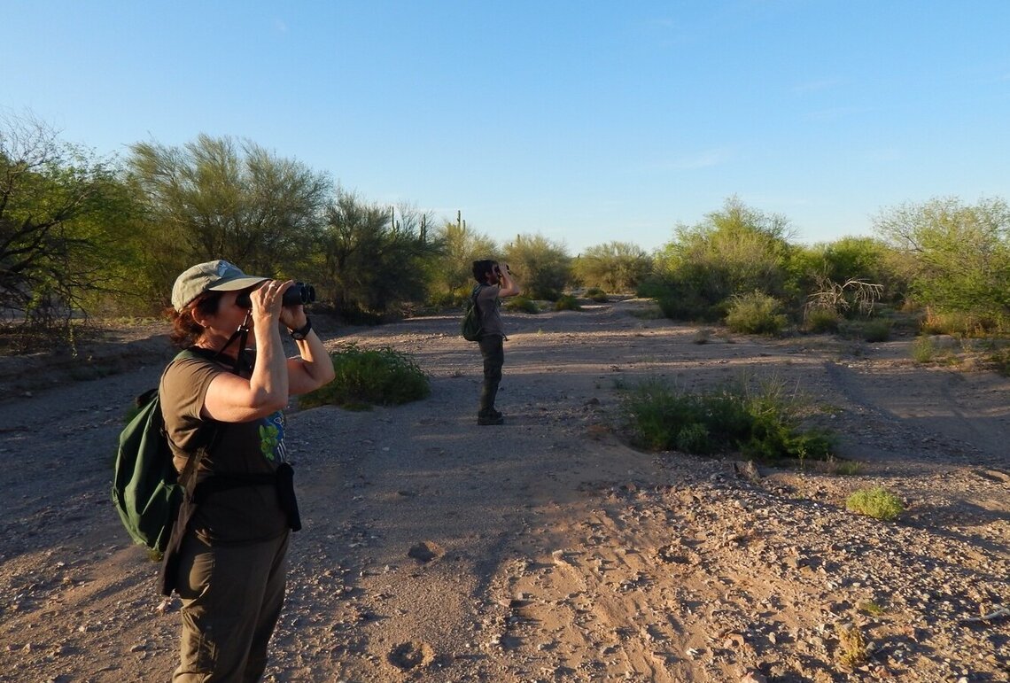
Since 2005, AZFO has always been interested in exploring under-birded areas through organized expeditions. When the COVID-19 pandemic hit in 2020, finishing and launching the eBird Gaps project took on urgency as a way to continue to engage Arizona’s birding community while social distancing was necessary. AZFO’s eBird Gaps project is a simplified version of Avicaching, in that it selects broad regions to focus birders’ attention and doesn’t involve a point-based game. All birders need to do is download a map from our website, submit eBird lists from the field, and share their lists with our eBird account’s username, “AZFO gaps”! Those with smart phones can get the free Avenza app and download any of the eBird Gaps PDF maps from our website.
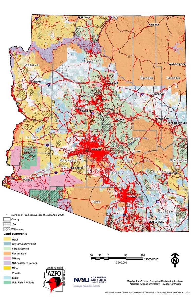
AZFO board member and Senior Application Systems Analyst for the Ecological Restoration Institute at Northern Arizona University (NAU), Joe Crouse, has generously developed these maps for us through ArcGIS. The maps show labeled roads and geographic features, previous eBird checklist location points, and Avenza app users can also see their position on the downloaded PDF map as they travel around the mapped area. We also provide instructions for how to participate and helpful tips for visiting remote areas on the AZFO eBird Gaps webpage. Besides simply getting birders to visit sites lacking eBird data, we encourage them to visit these locations at different times of year so we can get a variety of seasonal data. Join us by submitting your observations!